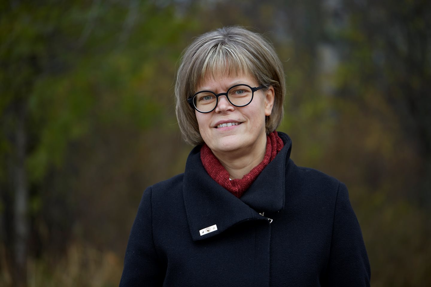
"It has been eventful years."
Karin Öhman, professor of forest planning at SLU, explores how to utilize the large amounts of data available about forests in various planning processes. Here, she reflects on the first phase of Mistra Digital Forest.

What characterizes the first four years of Mistra Digital Forest, from your perspective?
– A lot has happened. We have made significant progress in developing methods that allow us to derive actual benefits from the vast amount of data that new technology provides us. The availability of comprehensive data enables us to address entirely new types of planning challenges and create favorable conditions for ecosystem services related to both economic and ecological values.
Can you give examples of research in forest planning?
– Within Mistra Digital Forest, we are developing planning models that reduce the risk of future damages due to climate change. Here, we have listened to the industry's demands and developed risk indices that indicate the forest's susceptibility to damages from the spruce bark beetle and storms. We have also developed planning models that can be used to understand which stands are best to harvest if one wants to consider the risk of neighboring stands being affected by wind damages.
How has Heureka, which is a decision support system for forest planning and analysis, evolved within Mistra Digital Forest?
– Heureka has been enhanced with the sensitivity indices for climate-related damages that I mentioned earlier. Now, Heureka users can generate risk maps that indicate the vulnerability of future forests to damages based on different management strategies. This information can be used to identify adaptation strategies and make trade-offs between different objectives, for example.
– The strength of Heureka lies in its ability to conduct geographically explicit and long-term future analyses. Long-term planning is essential for achieving the goals of sustainable and climate-adapted forestry. With the help of Heureka, we can already examine the long-term consequences of different management strategies, making it a highly relevant decision support system.
What will happen going forward?
– We will continue to develop planning models for comprehensive data, especially at the raster cell level. This type of high-resolution data allows us to plan forestry with greater precision. By developing models with high level of detail, our vision is to conduct planning processes that better fulfill goals for both nature conservation and timber production. (The following video is in Swedish)